Bland

Area

West Wyalong and the Bland Shire is a friendly community and they invite you to break your journey there, as you travel on the Newell or Midwestern Highways or Goldfields Way.

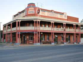
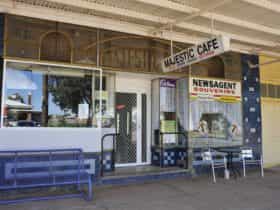
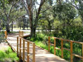
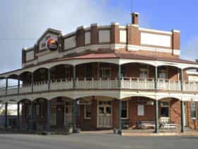
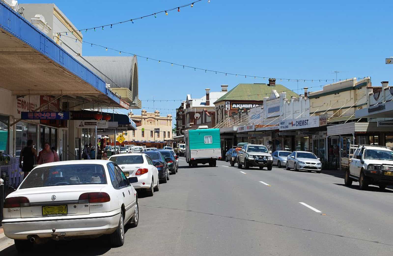
In town you can walk the ‘crooked mile’ of the unique main street, originally a bullock track woven around gold diggings and old tree stumps. Also visit the True Blue Mining Poppet Head, the Aboriginal Artefacts Shop, the Museum and the award winning Green Corridor walking track leading to the original town of Wyalong with its collection of historic buildings clustered along the Newell Highway. Enjoy a round of golf or a swim in the Holland Park Swimming Pool or a great meal at one of our many eating establishments.

For memorable day trips, explore our historical bush villages of Ungarie, Tallimba, Weethalle, Barmedman and Mirrool, each offering a special experience in the bush.

Bland

Area Area
Barmedman

Barmedman

Urban

Population: 459 | Bland

Barmedman is a small rural town located 35 kilometres south-east of West Wyalong. With a history...

Ungarie

Ungarie

Urban

Population: 557 | Bland

Ungarie is located 42 kilometres north west of West Wyalong on the way to Lake Cargelligo,...

West Wyalong

Urban

Population: 3141 | Bland

Wyalong and West Wyalong wetlands

Wyalong

Urban

Population: 654 | Bland

Wyalong is located on the Newell Highway four kilometres east of West Wyalong. An historic gold...

Alleena

Rural

Population: 61 | Bland

Back Creek (Bland)

Rural

Population: 52 | Bland

Bland

Rural

Population: 46 | Bland

Girral

Rural

Population: 59 | Bland

Kikoira

Rural

Population: 65 | Bland

Lake Cowal

Rural

Population: 36 | Bland

Mirrool

Rural

Population: 92 | Bland

Morangarell

Rural

Population: 42 | Bland

Naradhan

Rural

Population: 79 | Bland

North Yalgogrin

Rural

Population: 85 | Bland

Tallimba

Rural

Population: 184 | Bland

Weethalle

Weethalle

Rural

Population: 250 | Bland

Weethalle is a small farming town on the Mid Western Highway, 60 kilometres west of West...