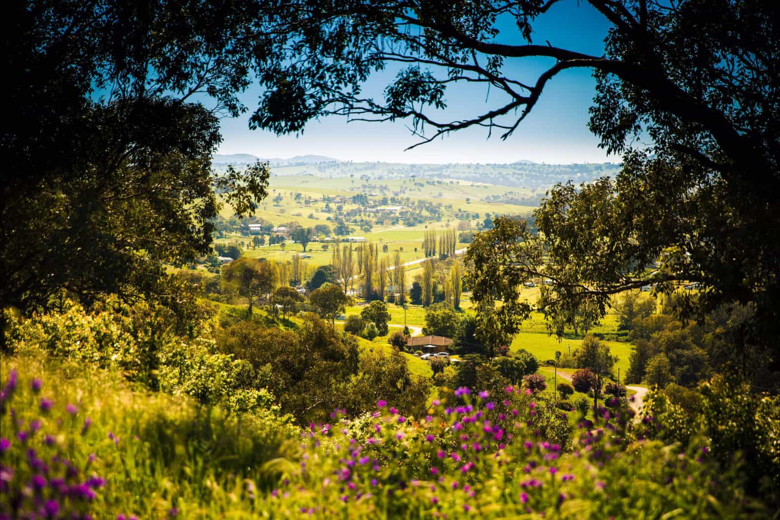
The Murrumbidgee Shire Council is made up of many rural towns including Darlington Point and Coleambally. The historic town of Darlington Point is located 30 kilometres south of Griffith. Its position on the Murrumbidgee River offers fishing, canoeing, bush walking and abundant bird and animal life. Enjoy a game of golf, bowls or tennis in town.
The town of Coleambally was established in a State Pine Forest in 1968. It was created to service the Coleambally Irrigation Area, a major rice and cereal growing area. The area is home to an extensive array of flora and fauna including the threatened species, the Superb Parrot and the Southern Bell Frog. View the Bucyrus Erie Dragline excavator on display at the entrance to town. Still in working order, it is turned on at the Riverina Machinery Club Vintage Rally held every second year.
