Search

Talisker Mine Ruins
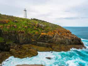
Things To Do Delamere, Yankalilla, South Australia
Historical Sites and Heritage Locations
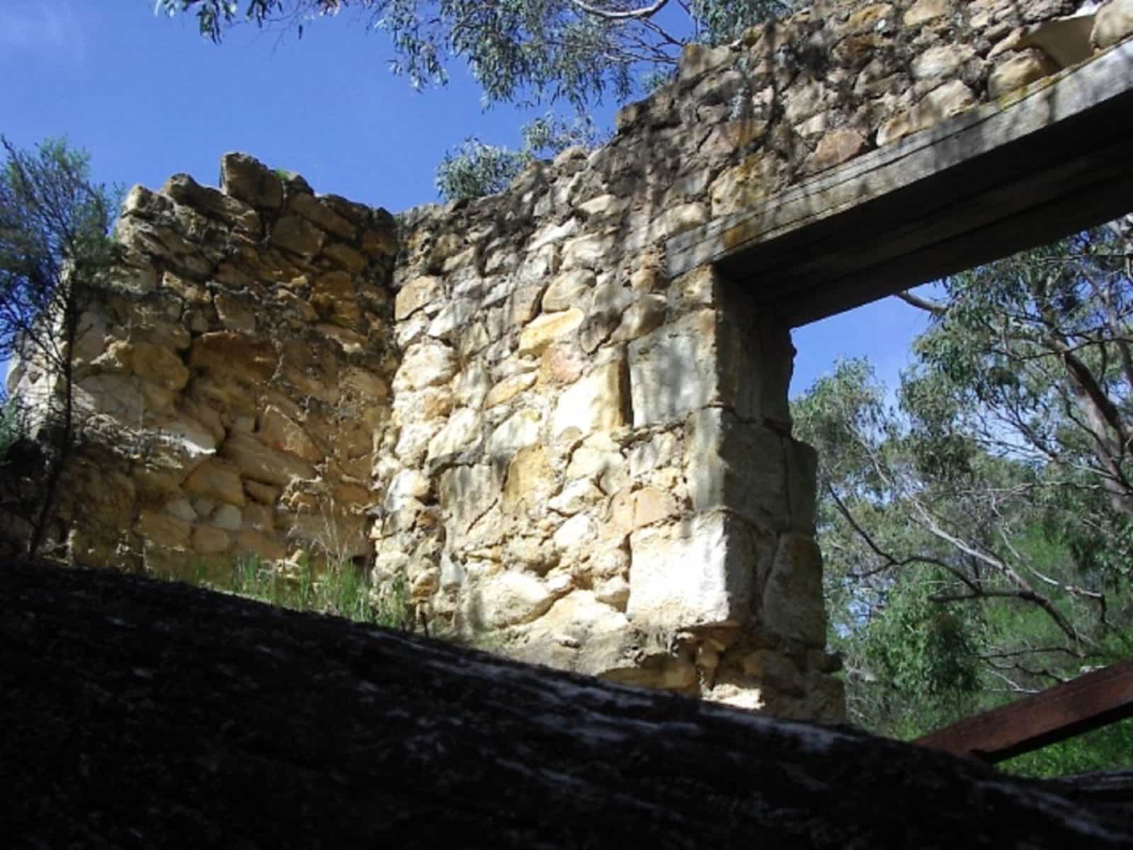
Talisker Mine was once the largest silver and lead mine in South Australia.
The Talisker Mining Company began working July 1862. After the arrival of a shipload of Cornish Miners from Glenelg, six distinct lodes were located. Within one month, ore was dispatched to England for assaying and a start made with opening up the mine and building the nearby township of Silverton.
The silver and lead was shipped from nearby Fishery Bay, where it was carried to the lighters moored in chest deep water for ferrying to the large ships. 36,000 bags of ore, weighing 1,600 tons, and 890 tons of ingots were carried in this way.
The mine ruins illustrate typical mid-nineteenth century Cornish mining and ore processing techniques and are an important remnant of South Australia’s heritage. The mine is located within Talisker Conservation Park and is listed on the Register of State Heritage Items.
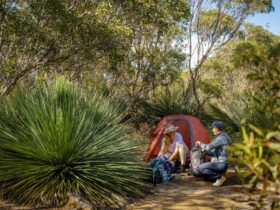
Today an interpretive trail through the mine ruins and bushland has been created. The walk takes about an hour. Maps can be purchased from the Fleurieu Coast Visitor Centre.
Facilities
Carpark
Rates
Free Entry