Search

Patterson River
Things To Do Carrum, Kingston, Victoria
National Parks and Reserves
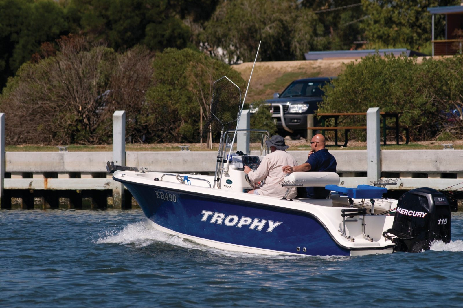
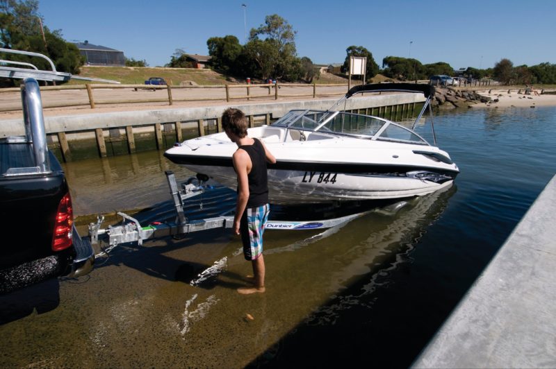
Patterson River, the gateway to Port Phillip, is a thriving canal system of the Patterson Lakes residential area. There are four public boat ramps, parking for cars and trailers and riverside picnic facilities making it the perfect venue for family boating expeditions. The National Water Sports Centre nearby is used by a wide range of water sport groups.
A man made waterway, created in 1876 to provide direct drainage from the entire Dandenong Valley catchment area. This run-off flowed into the Carrum Swamp, which spread behind the sand dunes between Mordialloc and Frankston with the only outlets to the bay being the Mordialloc Creek and the Kananook Creek at Frankston.
In 1934, 960 houses and farms were inundated by floodwaters. It was then decided to raise the levels of the artificial banks between the bay and Pillars Bridge, south of Dandenong.
Conditions can change in parks for many reasons. For the latest information on changes to local conditions, please visit the relevant park page on the Parks Victoria website.
Be bushfire ready in the great outdoors. Refer to the Bushfire Safety section on the Parks Victoria website for tips on how to stay safe.
Facilities
Picnic Area