Search

Kangaroo Island Shipwreck Trail
Things To Do Kingscote, Kangaroo Island, South Australia
Historical Sites and Heritage Locations
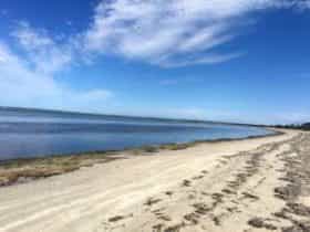
Drive or dive the Kangaroo Island Shipwreck Trail and explore the history of the island. Signs tell the stories of drama and tragedy. See seals, seabirds and the beautiful coastline.
Matthew Flinders was the first European to map the coast during his survey in the HMS Investigator in 1802. In 1803 French Captain Nicolas Baudin circumnavigated and charted the whole island.
In the early 1800s sealers, whalers and outcasts lived on Kangaroo Island. One visitor described it as the most vicious place in the British Empire. Sadly, many Aboriginal women were captured in the eastern states and brought here.
More than 80 vessels sank around or near Kangaroo Island. Some were large international sailing ships, some were small coastal traders. There are dramatic and tragic stories behind many of these wrecks, such as the Loch Sloy, Loch Vennachar, Osmanli and You Yangs.
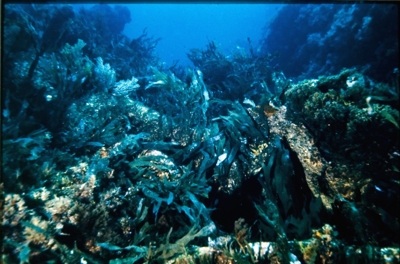
Many wrecks such as the Portland Maru are excellent diving sites.
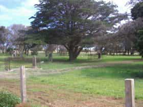
The trail includes signs at Kingscote and Penneshaw, and seven story panels at related sites around the Island. The signs include personal stories and newspaper reports of the time to describe the seven wrecks.
Download the Kangaroo Island Shipwreck Trail brochure for more information.
Facilities
Family Friendly
Disabled Assistance
Disabled access availableRates
Free Entry