Search

Waukarie Creek
Things To Do Quorn, Flinders Ranges, South Australia
National Parks and Reserves
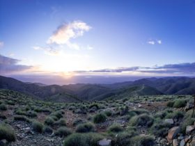
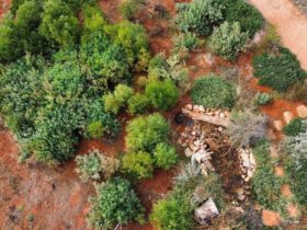
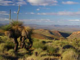
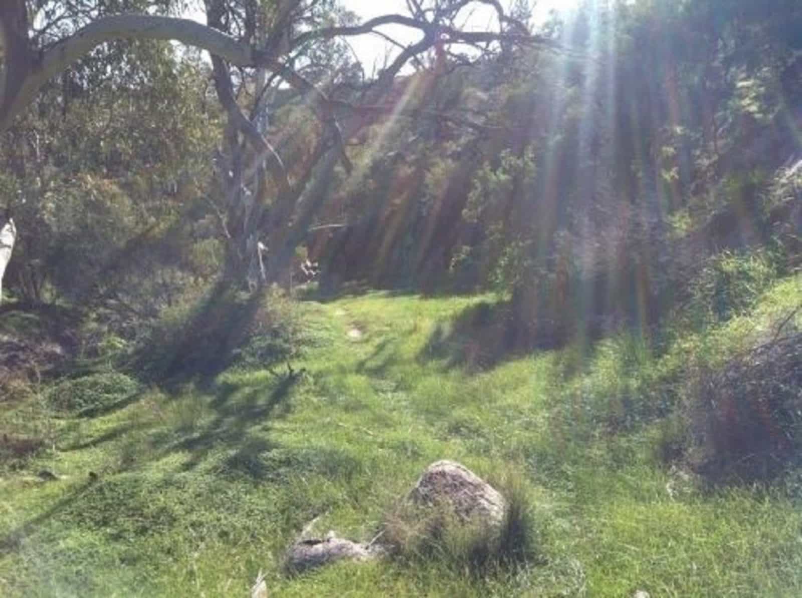
Waukarie Creek lies at the northern end of a 5km long hill which rises to Mount Brown. The watercourse follows a contorted roue cut through ABC Range quartzite and limestone sediments of the Wonoka Formation from Richman Valley to Pichi Richi Pass at Woolshed Flat. Waukarie is an Aboriginal name meaning ‘eroded gully’.
Self-Guided Walk:
A 5.8km linear walk from Olive Grove Trailhead to Woolshed Flat Railway Station. Either walk along the creek to your car, or arrange for a car at each end, or best of all, arrange transport so that you are dropped of at Olive Grove and return to Quorn on the Pichi Richi Train (you will need to book!). Allow 3 hours for the walk.
The walk follows the Heysen Trail but leaves it it as you climb out of the creek.
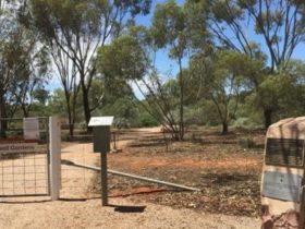
Facilities
Carpark
Rates
Free Entry