Search

Mount Roland
Things To Do Sheffield, Kentish, Tasmania
National Parks and Reserves
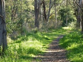
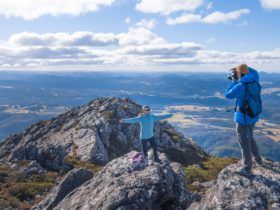
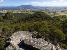
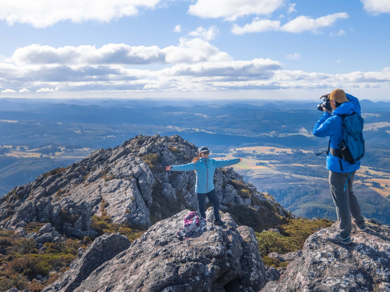
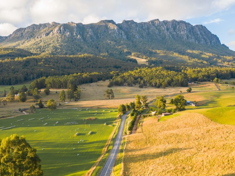
Mount Roland stands at 1233 metres above sea level and provides a stunning backdrop to the Kentish Municipality. The walk takes in the plains and plateau leading to the summit of the peak and there are two tracks to the summit.
The first – not recommended – the Mt Roland via Kings Road (Face Track), starts from Kings Road, Claude Road Village off the C136 and turns into a steep mountain climb. This track is not recommended as it is potentially dangerous, steep and awkward. Walking time takes from three to five hours return.
The second – and preferred – walking track starts at Gowrie Park Village on O’Neill’s Road off the C136 Walking time takes from four to six hours return. This is the easiest track to walk to the summit as it has a moderate incline.
The trig point at the top of the summit provides spectacular 360 degree views to Bass Strait, Cradle Mountain and Barn Bluff.
Facilities
Carpark
Picnic Area
Public Toilet
Activities
Hiking Rock Climbing Scenic DrivesDisabled Assistance
Caters for hearing impairmentRates
Free Entry