
Search
Wollondilly
AreaNew South Wales
Wollondilly
Area Area
Showing the first 33 results out of a total 33
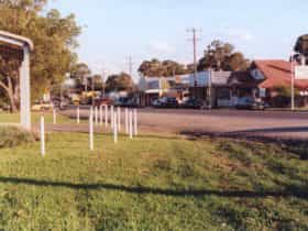
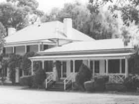
Bargo
UrbanPopulation: 4393 | Wollondilly
Bargo is a thriving town with an active community, growing rapidly due to convenient freeway access,...
Belimbla Park
UrbanPopulation: 581 | Wollondilly
Tahmoor
UrbanPopulation: 5067 | Wollondilly
Over the years, present day Tahmoor has had many names including Myrtle Creek, Bargo, Bargo West,...
The Oaks
UrbanPopulation: 2525 | Wollondilly
Buxton
UrbanPopulation: 2028 | Wollondilly
Buxton, a pleasant village community of the Wollondilly region of New South Wales, is named after...
Thirlmere
UrbanPopulation: 4046 | Wollondilly
Named after an idyllic spot in The Lakes District of England, Thirlmere is a small town...
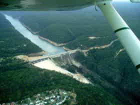
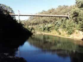
Warragamba
UrbanPopulation: 1241 | Wollondilly
The gateway to Sydney's water supply, the village of Warragamba is a quiet retreat nestled by...
Oakdale
UrbanPopulation: 1843 | Wollondilly
Oakdale is both a fruit growing and coal mining town. The Burragorang Driving Tour highlights historic...
Wilton
UrbanPopulation: 3080 | Wollondilly
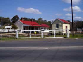
Couridjah
UrbanPopulation: 303 | Wollondilly
Couridjah is located on the old Loop Line railway, this sleepy little hamlet once served as...
Yanderra
UrbanPopulation: 661 | Wollondilly
Douglas Park
UrbanPopulation: 1362 | Wollondilly
The village of Douglas Park is close to the city yet far enough away to retain...
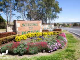
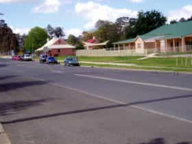
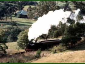
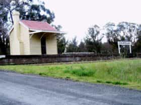
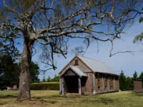
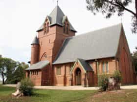
Picton
UrbanPopulation: 4816 | Wollondilly
Heritage is a strong drawcard for Picton, with visitors beginning their visit to the Visitor Information...

Appin
UrbanPopulation: 2633 | Wollondilly
Named after the village of Appin in Scotland, this historic town dating back to 1811 is...
Glenmore
RuralPopulation: 122 | Wollondilly
Razorback
RuralPopulation: 1082 | Wollondilly
Razorback is part of Wollondilly Shire and is known for its high steep hills. At the...
Lakesland
RuralPopulation: 432 | Wollondilly
The orchards of Lakesland grow a wide range of stone fruit including persimmons that are a...
Silverdale
RuralPopulation: 3682 | Wollondilly
Maldon
RuralPopulation: 15 | Wollondilly
Maldon is part of the Wollondilly Shire and is popular for its outdoor activities such as...
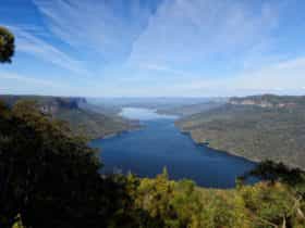
Blue Mountains National Park
RuralWollondilly
Menangle
RuralPopulation: 1150 | Wollondilly
Menangle is part of the Wollondilly Shire. Established as a village to service the operations of...
Brownlow Hill
RuralPopulation: 424 | Wollondilly
Mount Hunter
RuralPopulation: 732 | Wollondilly
Theresa Park
RuralPopulation: 535 | Wollondilly
Mowbray Park
RuralPopulation: 97 | Wollondilly
Camden Park
RuralPopulation: 2238 | Wollondilly
Nattai
RuralPopulation: 65 | Wollondilly
Nattai is a small village on the way to Burragorang Lookout and is a feature in...
Cataract
RuralPopulation: 8 | Wollondilly
Werombi
RuralPopulation: 930 | Wollondilly
Cawdor
RuralPopulation: 434 | Wollondilly
Orangeville
RuralPopulation: 1250 | Wollondilly
Pheasants Nest
RuralPopulation: 688 | Wollondilly
Pheasants Nest had the first ever recorded sightings by white settlers of koalas, lyrebirds and wombats....
Yerranderie
RuralPopulation: 4 | Wollondilly
Showing the first 33 results out of a total 33