Search

Chichester Dam
Things To Do Bandon Grove, Dungog, New South Wales
Landmarks and Buildings
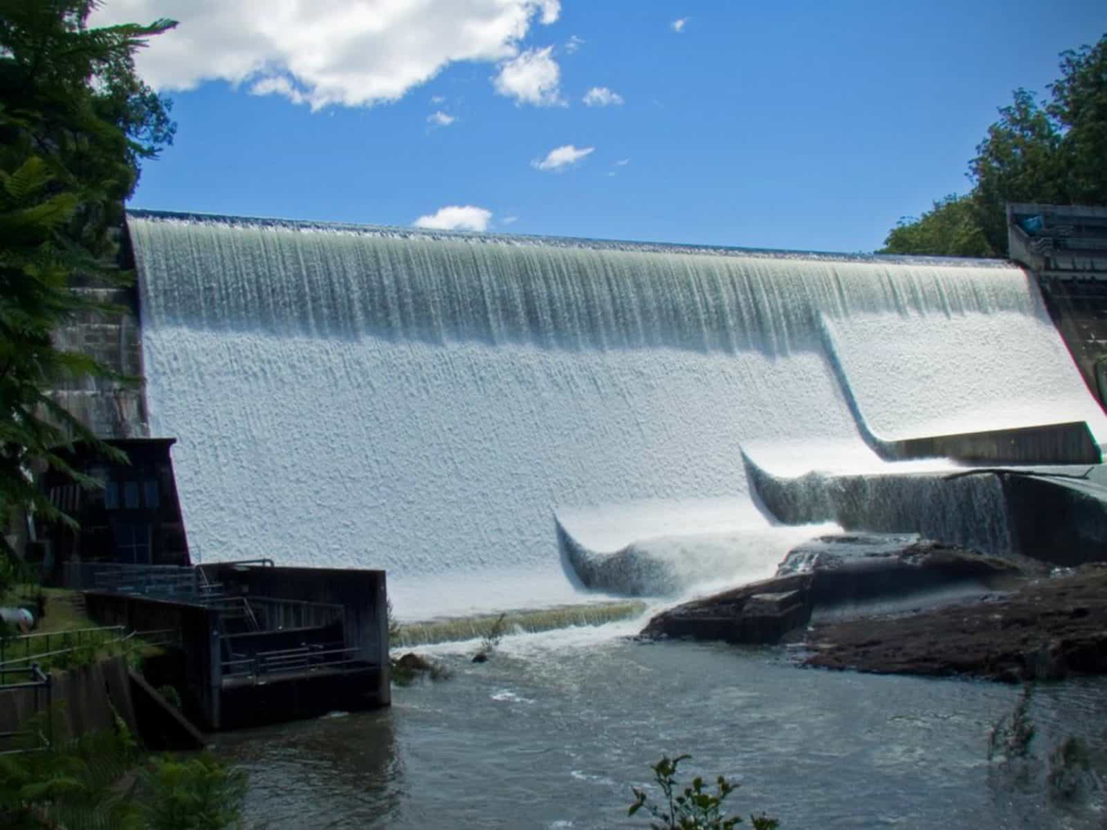
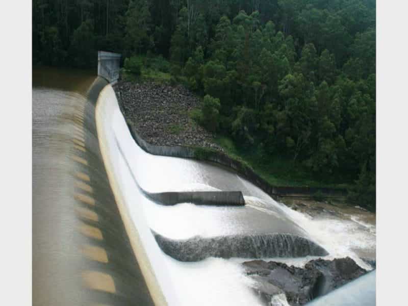
Chichester Dam was constructed between 1915 and 1926 and is a minor concrete gravity dam, upstream of Dungog, in the Hunter Region.
One of the Hunter’s most important freshwater storage facilities contributing about 35 percent of the Lower Hunter’s potable water supply. The dam wall is 254 metres long and 43 metres high and is anchored to the bedrock below the wall by 93 stressed tendons.
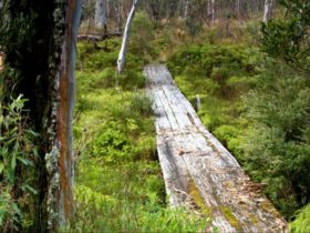
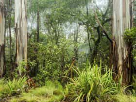
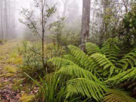
The catchment for Chichester Dam is largely within the Barrington Tops National Park, and as a result, it is one of the most pristine catchments in Australia. Wood is located near the barbecues or you can bring your own gas barbecue. To protect the dam there is no swimming, boating, or motorized sports allowed.
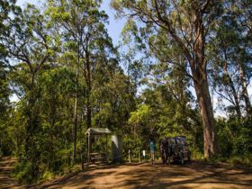
No dogs are allowed so leave the pooch at home. All the roads within the site are sealed and can be accessed by coaches.
Facilities
Barbeque
Carpark
Picnic Area
Public Toilet
Activities
BirdwatchingRates
Free Entry