Search

Mount Burr Township
Things To Do Mount Burr, Wattle Range, South Australia
Historical Sites and Heritage Locations
The town of Mt Burr was named by the Governor of South Australia, George Grey after George Dominicus Burr, a surveyor and Professor of Mathematics. George’s son Thomas Burr, also a
surveyor accompanied Governor Grey on the expedition in 1844.
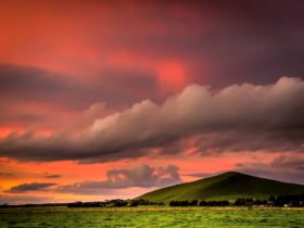
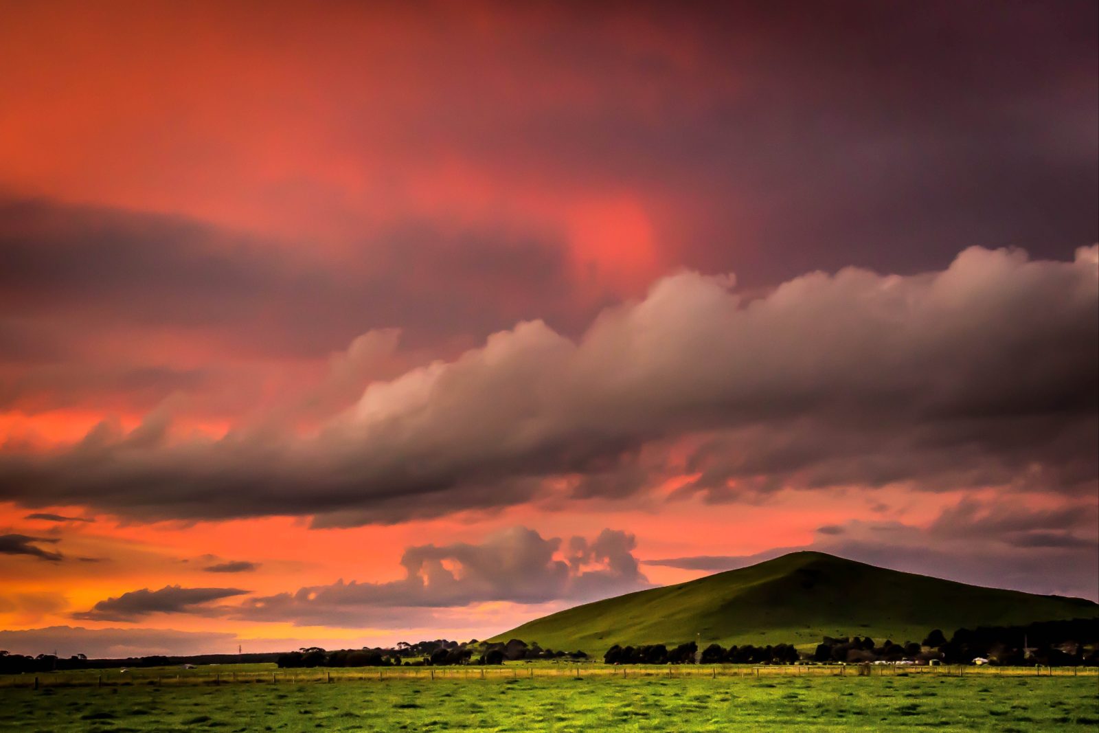
Mt Burr is located 11kms east of Millicent on the Millicent to Penola Road. Mt Burr is is 41kms west of Penola and 45kms from Beachport via Millicent. The local industries are forestry, transport and agriculture.
The town of Mt Burr was established in 1931 along with a sawmill operation. It was the first of all the milling towns in the region. Mt Burr was a government town built from locally sawn material and erected on a forest reserve. The government established all facilities including shops, schooling and homes. The sawmill closed in 2000.
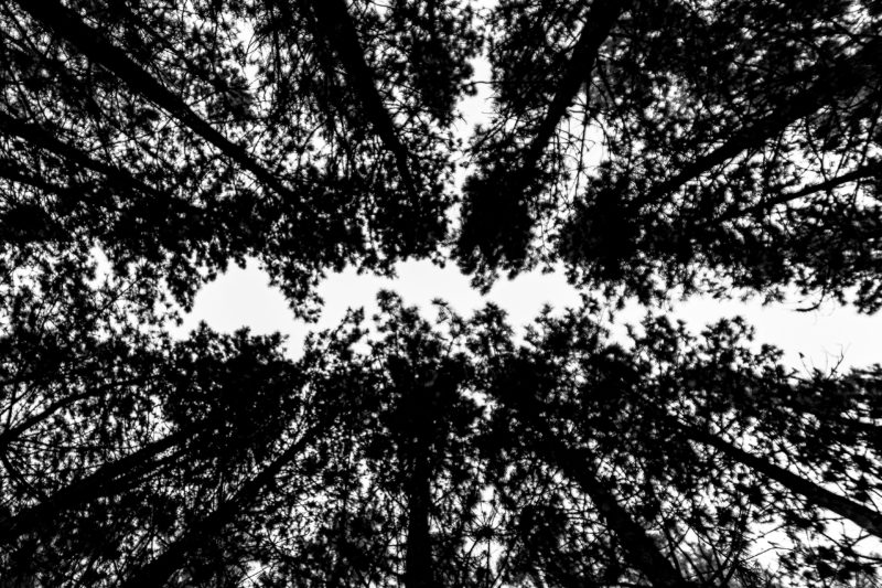
The trees and surrounding pine forests make Mt Burr ideal for photography.
Pop into the iconic Mount Burr General Store – with it’s unique food and events- https://www.facebook.com/MtBurrGeneralStore/
Every year the ladybugs breed near Mount burr in the Forest – it is a phenomenal site.
Mount Burr trails consist of two wonderful walking tracks with seats and a picnic table. Hollow tree trail is 1200m return and Lookout loop trail is 2500m return. https://www.facebook.com/mountburrtrails/
Facilities
Barbeque
Caravan / Camper Trailer / Campervan Sites / Campsites
Carpark
Family Friendly
Kiosk
Picnic Area
Public Toilet
Swimming Pool
Activities
WalksDisabled Assistance
Disabled access available