Search

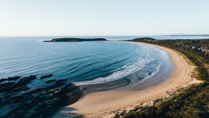
Broulee Heritage Area
Things To Do Broulee, Eurobodalla, New South Wales
Historical Sites and Heritage Locations
Broulee was the first port in the region. In the 1830s, settlers in the district would load and unload from ships anchored in Broulee Bay because a sandbar blocked the entrance to the Moruya River.
In 1837, Broulee was surveyed and gazetted. By mid-1841, a brisk sea trade had developed with Sydney, and it became a depot for Jervis Bay’s whaling fleet. The port had six buildings, and the 46 residents were mostly convicts employed by the local landowner Captain William Oldrey. It was also the center for the court and police districts stretching from Jervis Bay to Eden.
After a flood scoured out the bar at Moruya River in 1841, Moruya became the preferred port. The court and hotel were relocated to Moruya in the 1850s, and Broulee was abandoned.
Holidaymakers discovered Broulee in the 1920s.
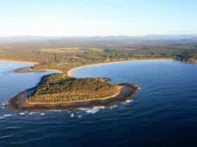
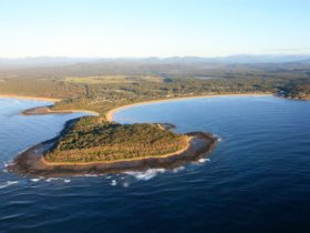
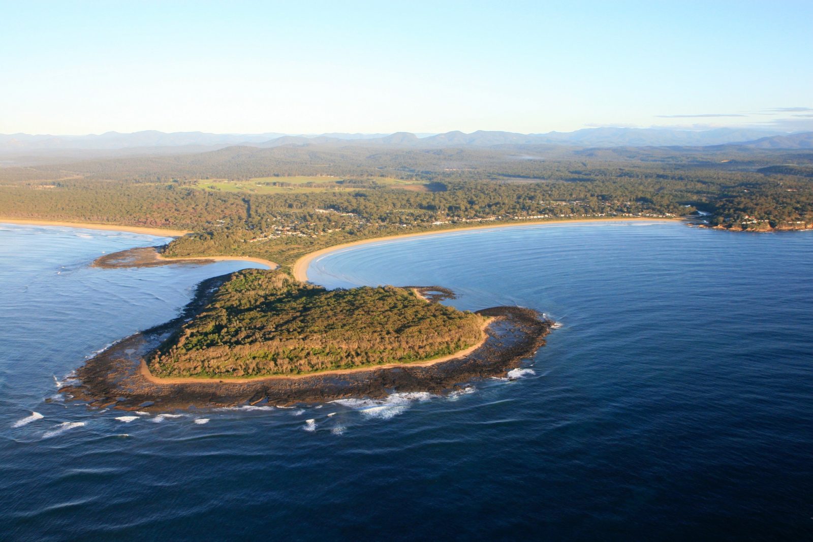
To explore the area, you can visit the memorial to the settlers and Traditional Owners who rescued people from the wreck of the schooner Rover in 1841, located in the park on Candlagan Creek’s northern bank. You can also walk around Broulee Island, a nature reserve since 1964, and see the site of the 1840-41 Erin-Go-Bragh Hotel and an interesting 1842 grave.