Search

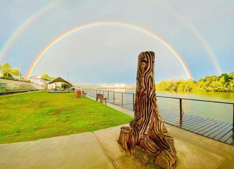
Manning River
Things To Do Taree, Mid-Coast, New South Wales
Historical Sites and Heritage Locations
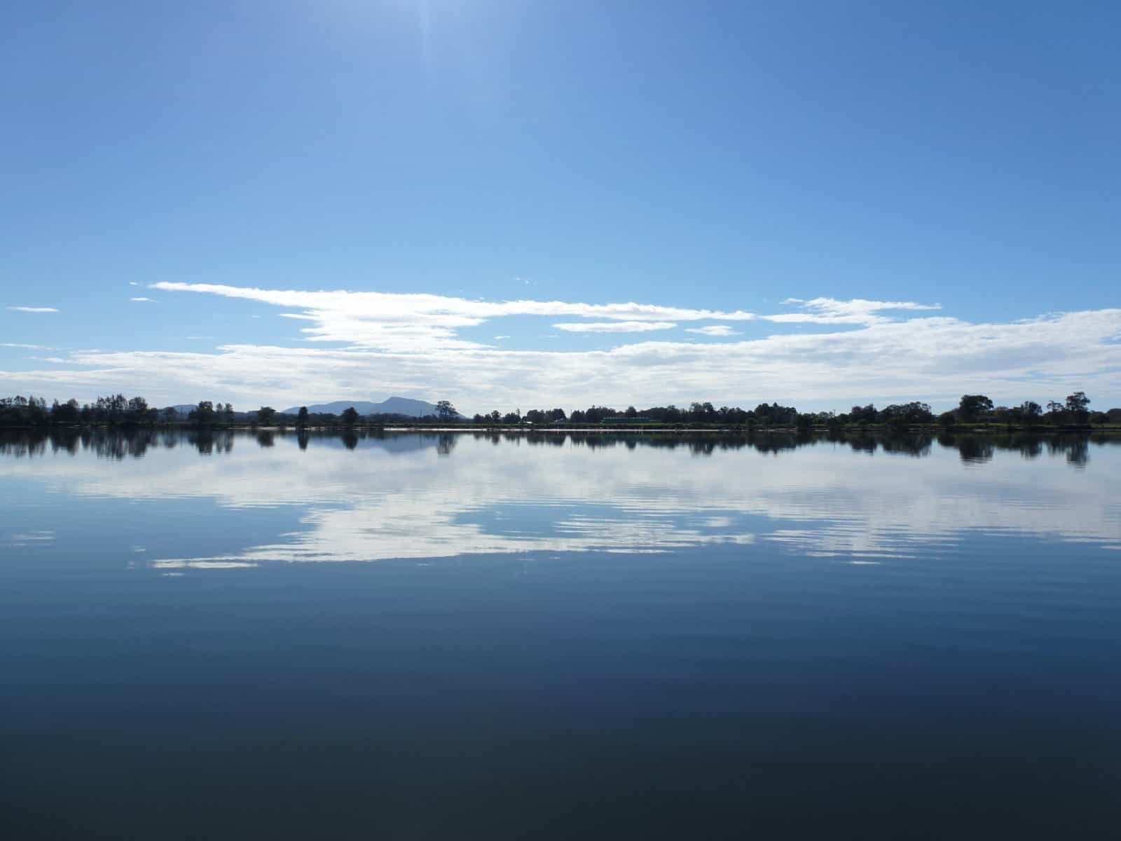
The Manning River is one of several beautiful rivers born in the Barrington Tops hinterland of the Barrington Coast. As their crystal clear waters tumble from the rugged peaks, they breathe life into the land; for this is the Barrington Coast – a place where the leaves touch the waters from the mountains to the sea.
The Manning River is a double delta river system with two openings, the only one of its kind in the southern hemisphere. The main mouth of the river is at Harrington with the second opening located at Old Bar.
The river rises near Mount Barrington within Barrington Tops National Park. It descends 1,500 metres over its 261 kilometre course from the high upper reaches through the Manning Valley and out to the Pacific Ocean near Taree.
The lower part of the river has several channels dividing coastal land into large islands, such as Mitchells and Oxley Islands.
The Manning River and its tributaries have long been havens used by visitors, holiday makers, locals, oyster farmers, anglers and transportation during the early pioneering days.
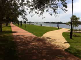
There is an increasing number of public ramps, wharves, pontoons, riverside parks, commercial tourist destinations and towns and villages scattered along the river.
Facilities
Boating Facilities
Activities
Birdwatching Boating Canoeing/Kayaking Fishing Sailing Swimming WalksRates
Free Entry