Search

Pineapple Flat Camping Area
Things To Do Mount Buller, Mount Buller, Victoria
National Parks and Reserves
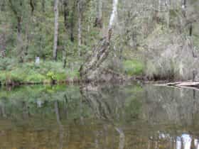
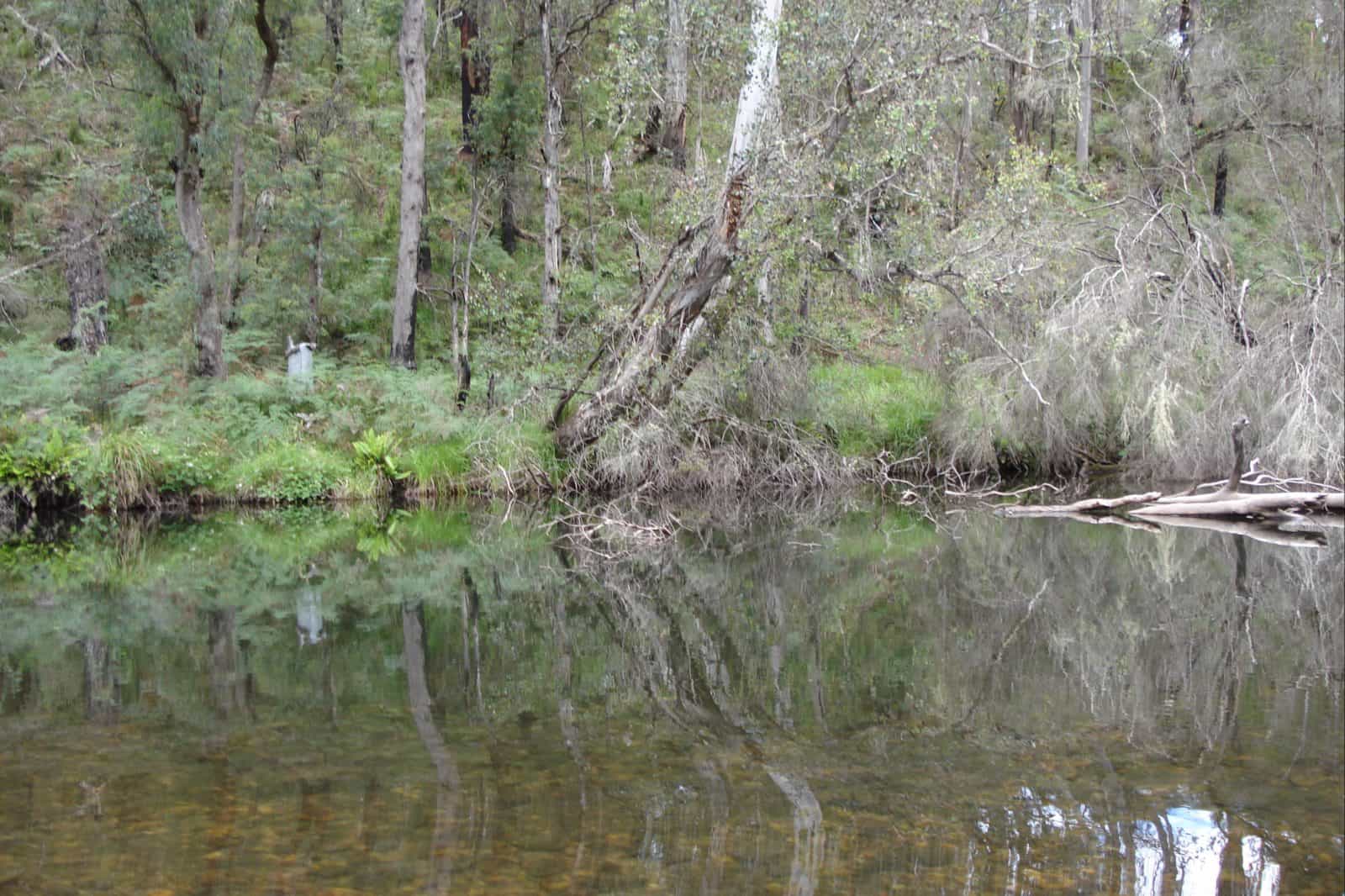
Pineapple Flat is approximately 10 kilometres north of Mt Stirling in the western reaches of the Alpine National Park.
It can be reached via Burnt Top Track down to King Basin Road, or alternatively it can be reached from Circuit Road heading down Speculation Road to King Hut Flat then along King Basin Road, with five river crossings over the King River between King Hut Flat and Pineapple Flat. These routes are for 4WD vehicles only.
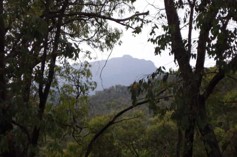
Those with a taste for isolated mountain tracks usually do a circuit of the area that involves the Sandy Flat, Longspur, Stockyard and Burnt Top tracks, the latter providing some wonderful views of Buckland Spur.
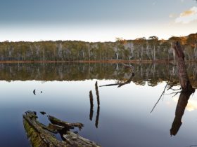
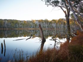
Situated on the banks of the King River, the area is popular with anglers, bushwalkers, campers and four wheel driving enthusiasts.
Please note access by vehicle is not possible from June to November due to seasonal track closures in the High Country. These closures generally operate from the King’s Birthday long weekend in June through to the beginning of November, but may be extended due to seasonal conditions. Contact the Mansfield Visitor Information Centre for more details.
Facilities
Carpark
Picnic Area
Public Toilet
Rates
Free Entry