Explore Tasmania with our interactive map. Simply click on the Map below to visit each of the regions of Tasmania. We have included some of the popular destinations to give you give you an idea of where they are located in the state. If you want to see more maps use the navigation panel on the right hand side of this page to view the State and territory Maps of Australia. Australia is a big country so make sure you understand the the distances and travel time involved.
Discover Tasmania's Regions
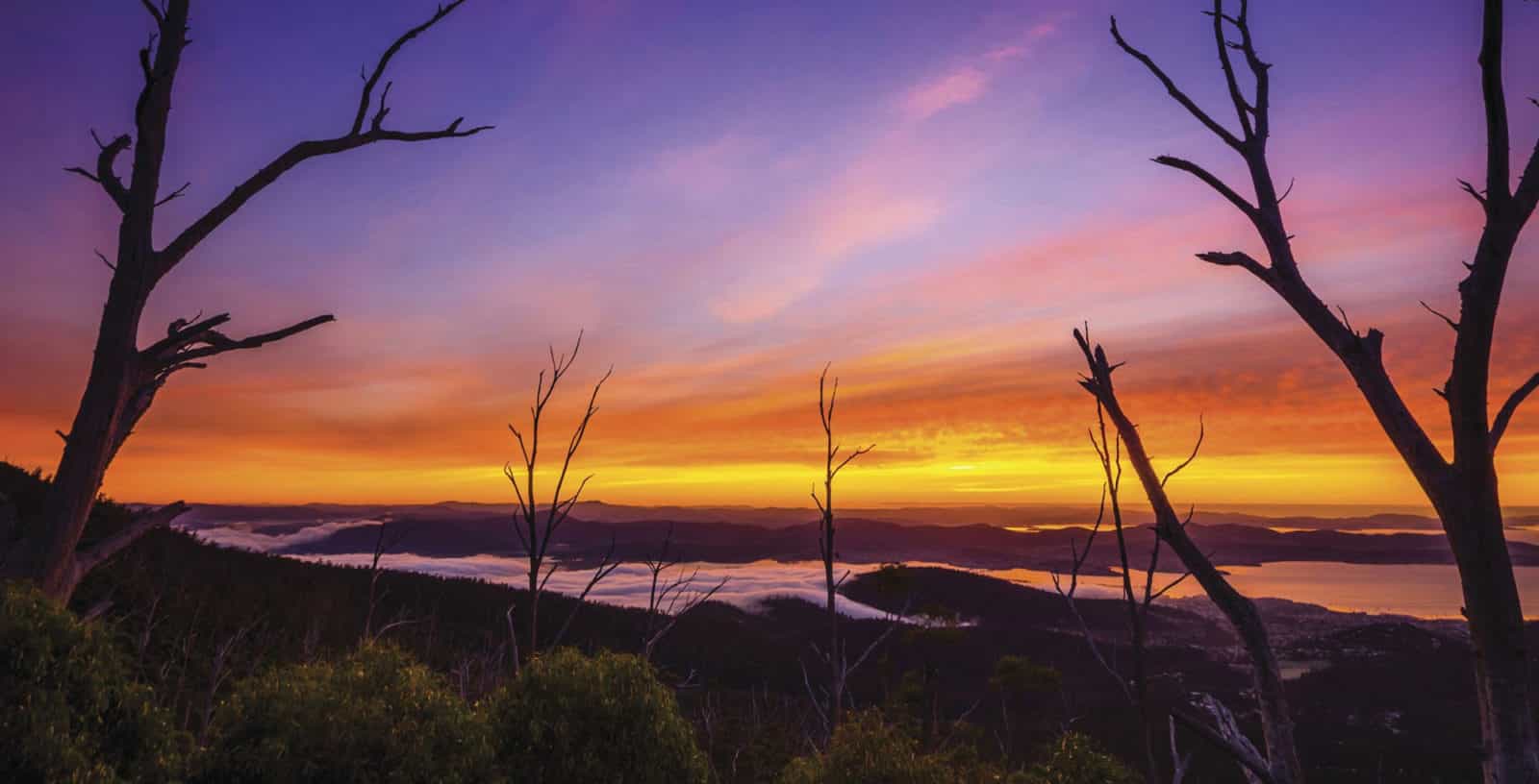
 Hobart – Hobart is a compact city with a special character all its own. Sitting in the foothills of Mt Wellington, it combines a rich colonial heritage and natural beauty with a contemporary lifestyle. It’s also close to some of Tasmania’s most… Read more…
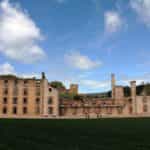 Port Arthur and the South East – The Tasman Peninsula is home to spectacular scenery, heritage-listed historic sites, fantastic walks, beautiful empty beaches and fascinating wildlife. There’s a wide range of land and marine animals to spot and striking rock formations to discover including Tasman Arch and… Read more…
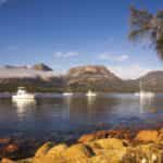 Freycinet and the East Coast – Tasmania’s east coast is a coast of contrast – sunshine and sea life, wine and wildlife, crags and beaches, history and adventure. It’s a coast of national parks – Douglas-Apsley, with its quietly flowing rivers, eucalypts and Oyster Bay pines;… Read more…
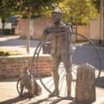 Midlands (Heritage Highway) – The history of the Heritage Highway region is intrinsically linked to the extraordinary road builidng that occurred in Van Diemen’s Land in the first half of the 19th century.An overland route through the Midlands was pioneered by the Surveyor General,… Read more…
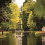 Derwent Valley and Central Highlands – The Derwent Valley takes its name from the mighty river that rises at Lake St Clair and includes rich farmlands, rural settlements named by Scots and Irish settlers, and rugged escarpments and forests.It’s a valley of tough pioneers, explorers, bushmen,… Read more…
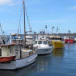 St Helens and the North East – St Helens is a picturesque fishing port on the shores of Georges Bay and is the largest town on Tasmania’s North East Coast. There’s good sea and river fishing, not to mention the best game fishing in Tasmania. Charters are… Read more…
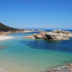 Flinders Island – Flinders Island lies 60 km off the north-east tip of Tasmania and has dramatic and varied landscapes – from the pink and grey granite cliffs of Strzelecki and Killiecrankie to the gentle, green farmland that rolls through the northern part… Read more…
 Launceston, Tamar and The North – Tasmania’s northern ‘capital’, Launceston, has remade itself. In this relaxed, historic city, you can stay in quality accommodation and plan your exploration of a lush, productive region that attracts some of the nation’s best chefs and winemakers. The city is… Read more…
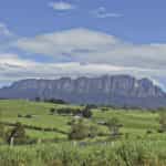 Devonport and Cradle Mountain – From the city of Devonport, port of the Spirit of Tasmania, to the rugged country towards Cradle Mountain, is a region of farming hamlets and historic buildings, beaches, forests, mountains carved by glaciers and fertile farmland.The backdrop to your travels… Read more…
 Stanley and the North West – From Burnie, with its industrial heritage and busy port, the Bass Highway follows the coast westward along the coast. The drive takes you past some impressive geological features; Mt Roland near Devonport, Table Cape just beyond Wynyard and the Nut… Read more…