Search

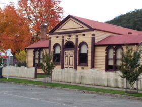
Upper Goulburn Historic Area
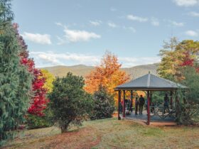
Things To Do Kevington, Mansfield, Victoria
Historical Sites and Heritage Locations
The Upper Goulburn Valley is an attractive, rugged area with an interesting heritage associated with gold mining and early settlement.
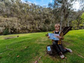
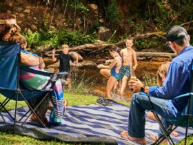
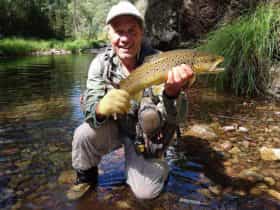
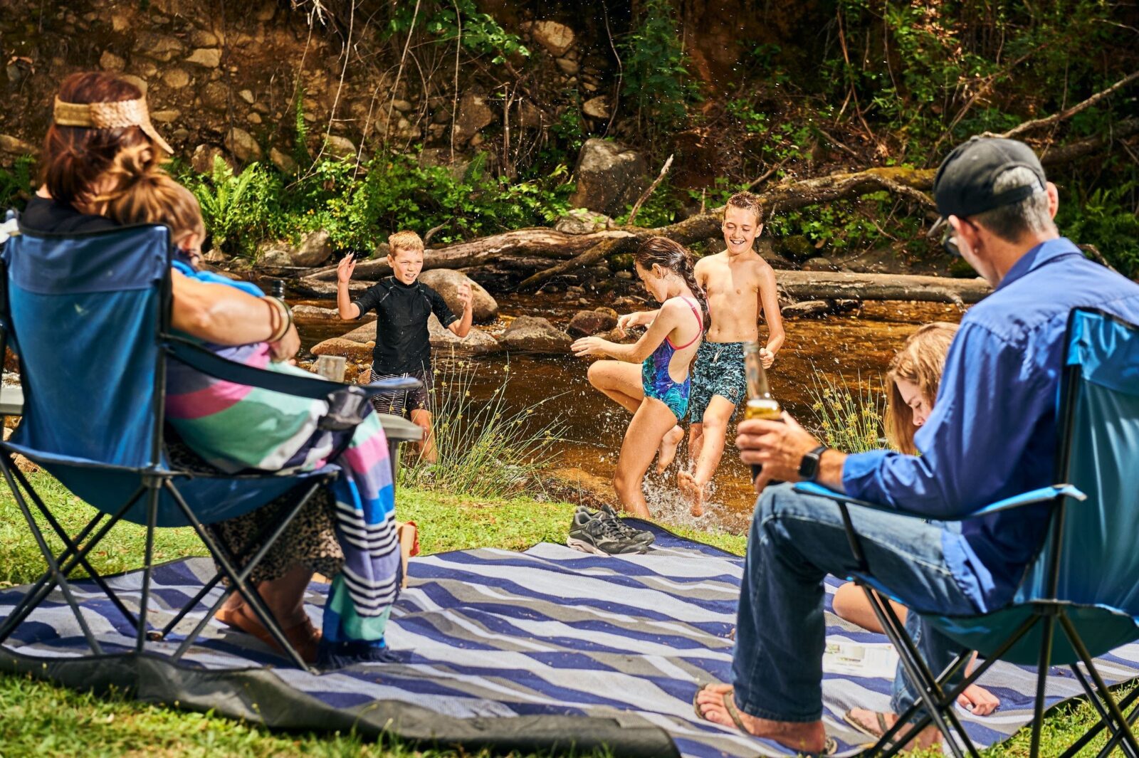
The Goulburn and Jamieson Rivers are popular for camping, trout fishing, canoeing and gold fossicking and beautiful scenic vistas.
The landscape of the Upper Goulburn River, with its ranges, deep gullies and thick forest would have been difficult to traverse. However, when gold was discovered at Gaffney’s Creek in 1859 the adventurous overcame the challenges and began to open up the Upper Goulburn Valley through the persistent search for gold.
A1 Mining settlement is the site of the A1 Gold Mine which began operations in 1861. Along with the Morning Star in Woods Point it produced almost 60 per cent of Victoria’s total gold output from the 1950s to the late 1970s. This unique settlement in the narrow Raspberry Creek valley retains its original mining characteristics.
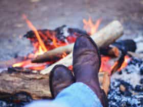
Several picnic and bush camping areas are located along the river between Jamieson and Woods Point. Riverside camping areas include Doctors Creek, Skipworth, Twelve Mile, Blue Hole, Picnic Point and Snake Edwards Reserves.
Be aware there are still dangerous mine shafts in the area.